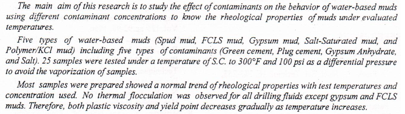
Contamination of Drilling Muds in Southern Iraqi Fields
This work studies the performance of zeolite permeable reactive barrier in removing cadmium from a contaminated shallow aquifer. Batch tests have been performed to characterize the equilibrium sorption properties of the zeolite in cadmium-containing aqueous solutions. A 1D numerical finite difference model has been developed to describe pollutant transport within groundwater taking pollutant sorption on the permeable reactive barrier (PRB), which is performed by Langmuir equation, into account. Numerical results show that the PRB starts to saturate after a period of time (~120 h) due to reduction of the retardation factor, indicating a decrease in the percentage of zeolite functionality. However, a reasonable agreement between model predict
... Show MoreAbstract. This study presents experimental and numerical investigation on the effectiveness of electrode geometry on flushing and debris removal in Electrical Discharge Drilling (EDD) process. A new electrode geometry, namely side-cut electrode, was designed and manufactured based on circular electrode geometry. Several drilling operations were performed on stainless steel 304 using rotary tubular electrodes with circular and side-cut geometries. Drilling performance was characterized by Material Removal Rate (MRR), Electrode Wear Rate (EWR), and Tool Wear Ratio (TWR). Dimensional features and surface quality of drilled holes were evaluated based on Overcut (OC), Hole Depth (HD), and Surface Roughness (SR). Three-dimensional
... Show MoreThis article proposes a new technique for determining the rate of contamination. First, a generative adversarial neural network (ANN) parallel processing technique is constructed and trained using real and secret images. Then, after the model is stabilized, the real image is passed to the generator. Finally, the generator creates an image that is visually similar to the secret image, thus achieving the same effect as the secret image transmission. Experimental results show that this technique has a good effect on the security of secret information transmission and increases the capacity of information hiding. The metric signal of noise, a structural similarity index measure, was used to determine the success of colour image-hiding t
... Show MoreThis study is concerned with the recent changes that occurred in the last three years (2017-2019) in the marshes region in southern Iraq as a result of the changes in the global climate, the study included all the water bodies in the five governorates that are located in the southern regions of Iraq (Wasit, Maysan, Dhi-Qar, Qadisiyah and Basrah), which represent the marshes lands in Iraq. Scenes of the Landsat 8 satellite are used to create a mosaic to cover the five governorates within a time window with the slightest difference between the date of the scene capture, not to exceed 8 days. The results of calculating the changes in water areas were obtained using the classifier support vector machine, where high accuracy ratios were recorded
... Show MoreEcological risk assessment of mercury contaminant has a means to analyze the ecological risk aspect of ecosystem using the potential impact of mercury pollution in soil, water and organism. The ecological risk assessment in a coastal area can be shown by mangrove zonation, clustering and interpolation of mercury accumulation. This research aims to analyze ecological risk assessment of potential mercury (including bioaccumulation and translocation) using indicators of species distribution, clustering, zonation and interpolation of mercury accumulation. The results showed that the Segara Anakan had a high risk of mercury pollution, using indicators like as the potential of mercury contaminant in water body was 0137±0.0137 ppm, substrate a
... Show MoreThe aim of this paper is to design suitable neural network (ANN) as an alternative accurate tool to evaluate concentration of Copper in contaminated soils. First, sixteen (4x4) soil samples were harvested from a phytoremediated contaminated site located in Baghdad city in Iraq. Second, a series of measurements were performed on the soil samples. Third, design an ANN and its performance was evaluated using a test data set and then applied to estimate the concentration of Copper. The performance of the ANN technique was compared with the traditional laboratory inspecting using the training and test data sets. The results of this study show that the ANN technique trained on experimental measurements can be successfully applied to the rapid est
... Show MoreMersing is one of the places that have the potential for wind power development in Malaysia. Researchers often suggest it as an ideal place for generating electricity from wind power. However, before a location is chosen, several factors need to be considered. By analyzing the location ahead of time, resource waste can be avoided and maximum profitability to various parties can be realized. For this study, the focus is to identify the distribution of the wind speed of Mersing and to determine the optimal average of wind speed. This study is critical because the wind speed data for any region has its distribution. It changes daily and by season. Moreover, no determination has been made regarding selecting the average wind speed used for w
... Show More